No Products in the Cart


In the field of cartography and geographic visualization, Bruce Hubbard has made significant contributions through his innovative 3D mapping technique
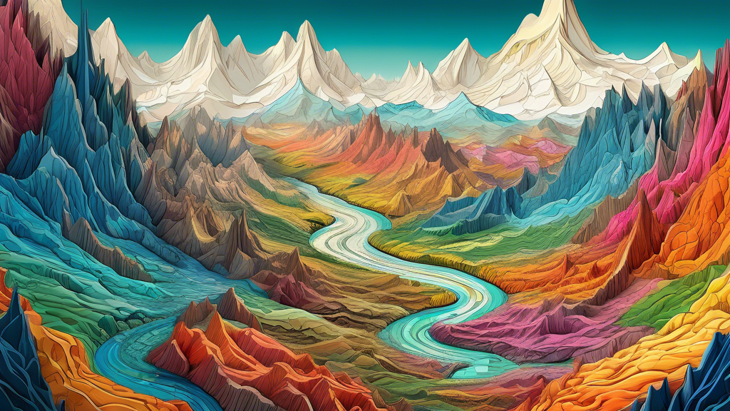
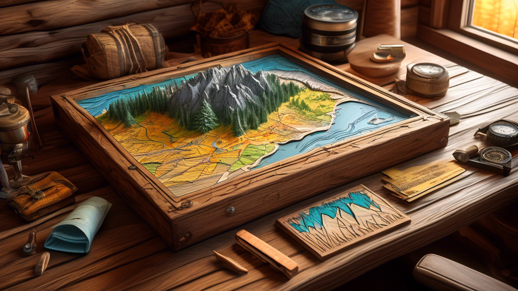
Exaggerated relief maps, also known as raised relief or terrain maps, offer a unique and captivating perspective on the world's landscapes. These three-dimensional representations of the Earth's su
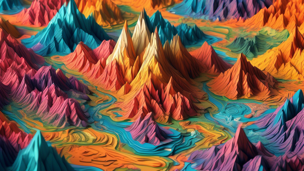
Exaggerated relief maps offer a fascinating way to visualize and understand the Earth's topography. These maps depict the terrain with vertically exaggerated scales, making even subtle elevation ch
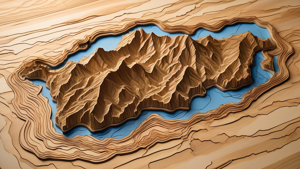
Raised relief maps are three-dimensional representations of a landscape that showcase the terrain's elevations and depressions. These maps offer a uniqu
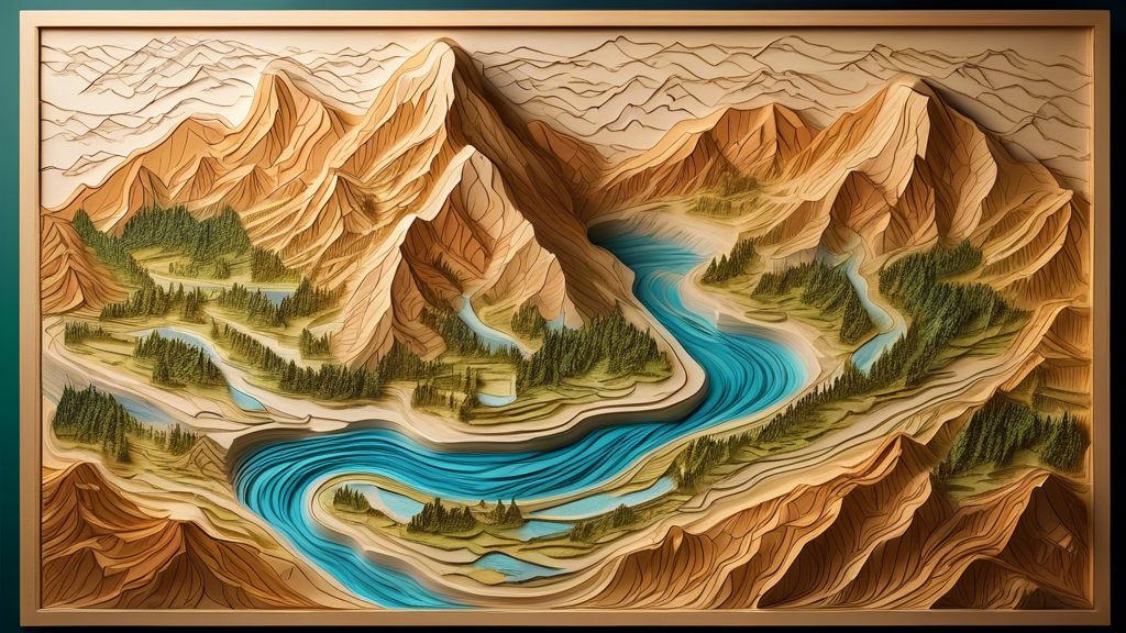
Bas relief maps are a fascinating intersection of art and geography, offering a unique way to visualize and appreciate the topography of a given area. These intricately crafted maps use varying lev
The Adirondack Mountains, located in northeastern New York State, are a breathtaking natural wonder that have captivated visitors for centuries. These ancient peaks, formed over a billion years ago
RaisedRelief.com is your one-stop shop for all of your raised relief map needs. Our selection of topographic maps is the most comprehensive in the industry, providing customers with detailed, accurate representations of the world’s terrain. Our raised relief maps are perfect for educational, professional and recreational use, as they provide an easy-to-understand view of the land. With state-of-the-art manufacturing techniques, all of our raised relief maps are made with the highest quality and accuracy. Our goal is to provide the best quality, most detailed and accurate raised relief maps available, so our customers can experience the world in a whole new way. Whether you’re a student, educator, professional or hobbyist, RaisedRelief.com is the perfect place to find the perfect raised relief map.
In the field of cartography and geographic visualization, Bruce Hubbard has made significant contributions through his innovative 3D mapping technique
Exaggerated relief maps, also known as raised relief or terrain maps, offer a unique and captivating perspective on the world's landscapes. These three-dimensional representations of the Earth's su